City Description
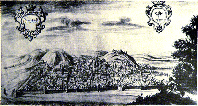
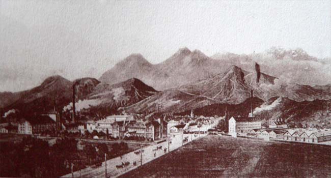
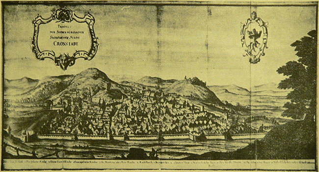
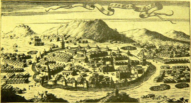
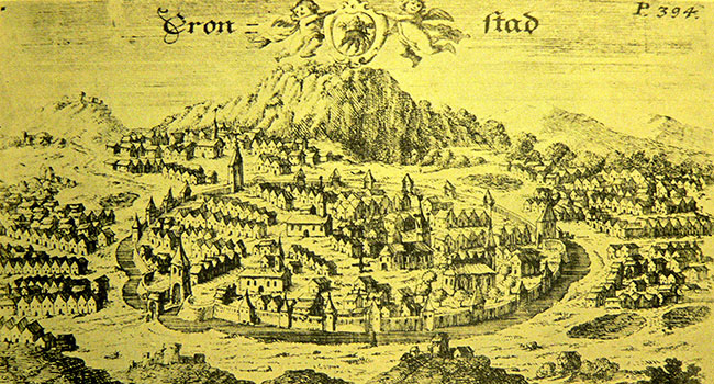
Geographic placement: Brașov city is placed in the central-east region of Romania, 45°38’N and 25°35’E, at the foothill of the Tâmpa peak (967m). Brașov municipiality, which is the county seat, is placed at the altitude of 625m in the Bârsa hollow, in the Carpathien curvature surrounded by the Piatra Mare and Postăvaru mountains, guarded from three sides by Tâmpa, Straja (Warthe) hill and Fortress Hill. The administrative territory of the city of Brașov is located in the southern part of the Brașov hollow, in contact with the mountain range, respectively with the internal flow of the Eastern Carpathians
Belonging localities: Bod, Hălchiu, Crizbav, Sânpetru, Feldioara, Cristian, Vulcan, Codlea, Ghimbav, Râșnov, Predeal, Săcele, Hărman, Prejmer, Tărlungeni
Population: 275 901 according to the Statistic Directorate of Brașov at 1st of July 2011
Main economic fields: Tourism, Industry, Trade
Touristic attractions:
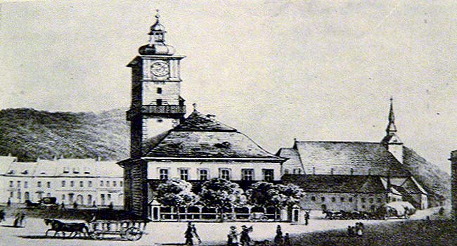
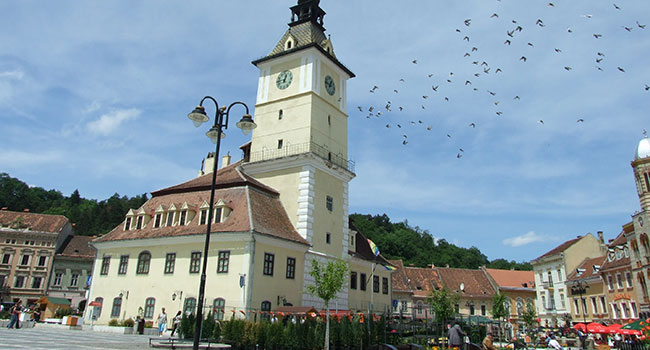
Old town`s Square (11.621 m2)
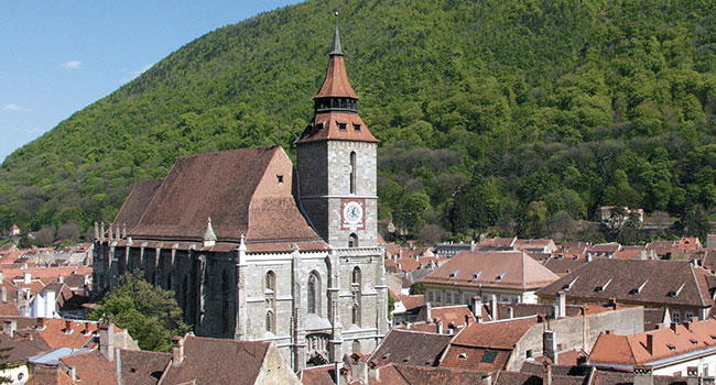
The Black Church
Medieval Houses
Ortodox Cathedral “Dormition of the Virgin Mary”
Cultural Center “Reduta”
Hirscher House
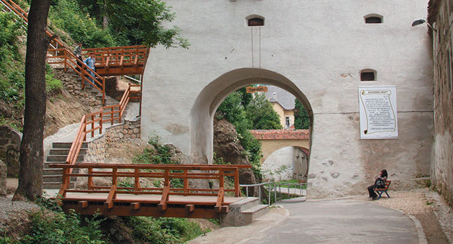
The Weavers` Bastion
Graft Bastion
Postavarilor Bastion
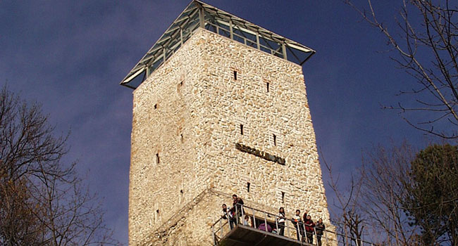
The White Tower
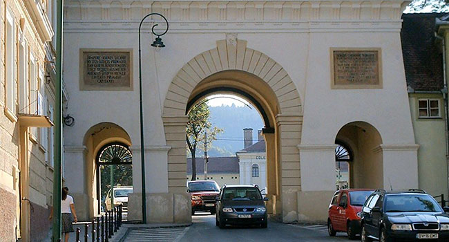
Brașov`s Gates
The synagogue
Rope Street
First Romanian School
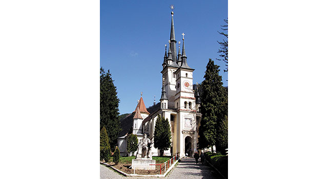
“Saint Nicholas “ Church
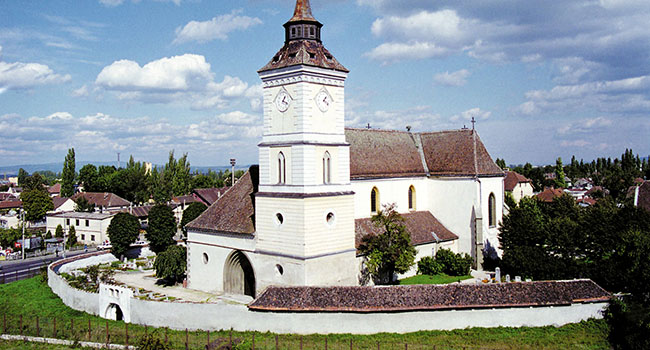
Bartolomeu Church
Franciscan Monastery
“Holy Trinity Church”
“Saint Ioan” Church in Poiana Brașov
Protected natural areas
Mount Tâmpa Natural Reserve
Postăvaru Mountain
Holydays and traditions
Brașov`s days
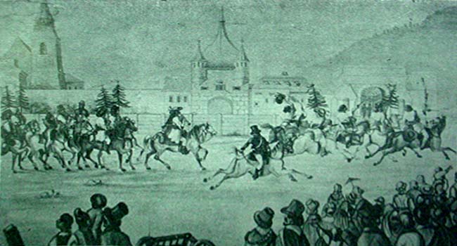
Junii Brașovului Parade
Medieval Festival

